Wed 11 Feb
09 - Today's walk was to catch the snow before it melted in
the
Grwyne Fawr (central Black Mountains).
It's an icy drive up the valley road to here-
Grwyne Fawr (central Black Mountains).
It's an icy drive up the valley road to here-
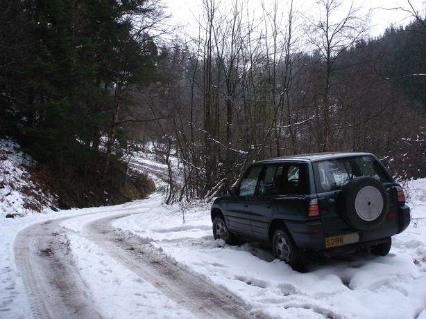
My handy parking spot at
the bottom of the forestry zig-zags. Tyre tracks
are all made by army Landrovers today. They had a base camp down at
Pont Cadogan car park with signs announcing 'operation Longreach'.
are all made by army Landrovers today. They had a base camp down at
Pont Cadogan car park with signs announcing 'operation Longreach'.
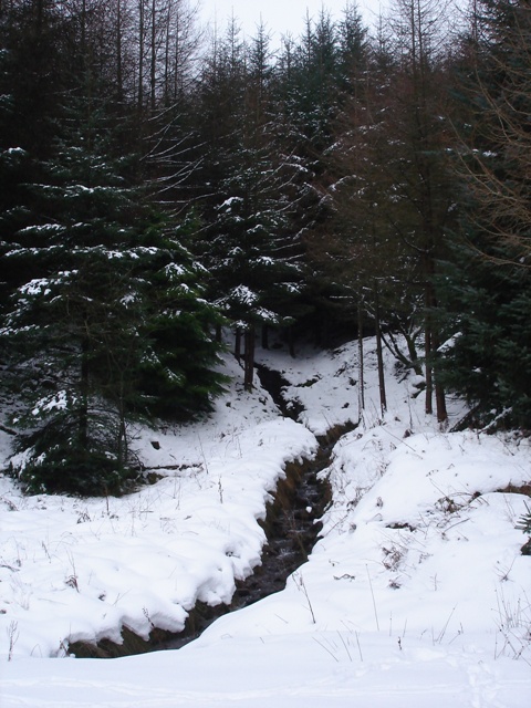
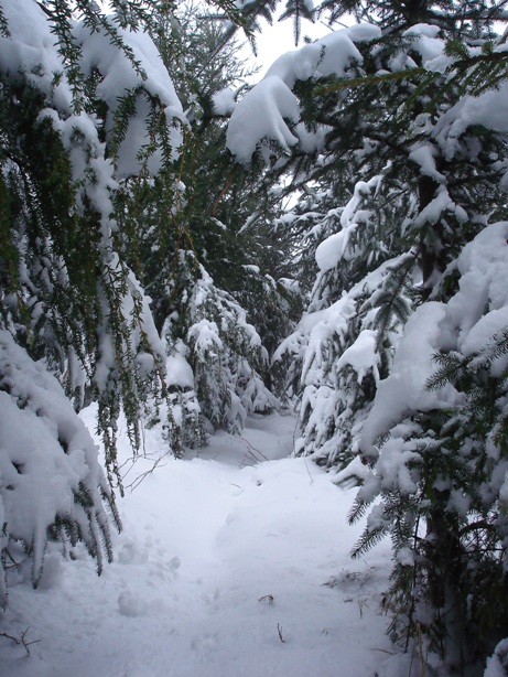
Stream about to go under the track I'm on, just before
I set off up the steep path in the next photo.
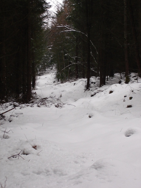
Looking up from the lower end of my path to P-y-G ridge-
it's knee deep here already...
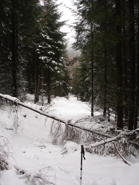
Looking back down the same path
Looking up my path 'project', rather harder to navigate today
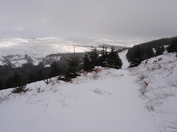
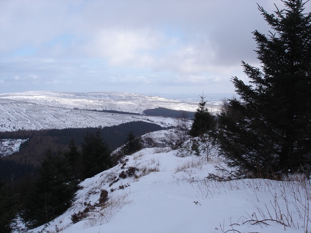
Bottom
end of upper 'box path', looking across Grwyne Fawr valley.
Across the valley, generally sunnier over there today
Upper fc track- the army were up and down all day in Landrovers, and
apart
from a few trailers parked in odd places, I didn't see any more of the training
exercise for Sandhurst cadets, that's because they didn't arrive in bulk until
next day, I discovered later. Made walking much easier following their tyre
tracks though...
There were footprints of a runner up here- they seemed to mysteriously
appear from off the bank on the right.
The
lower section of 'box path'- snow mostly beyond knee-deep here.
Many times I had to extract myself - hilarious.
I followed the fc track down the zig-zags from bottom of here. A JCB
came up with another
army vehicle- were they really going to clear the upper tracks ? 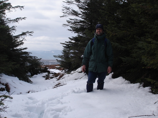
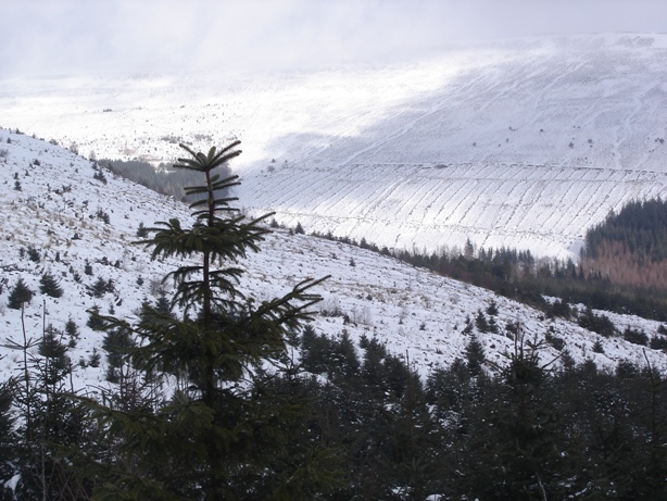
4 days later I was up there again- only the deep snow was left, but
plenty
high up. Lunch stop out of the wind in the famous high altitude trees on P-y-G.
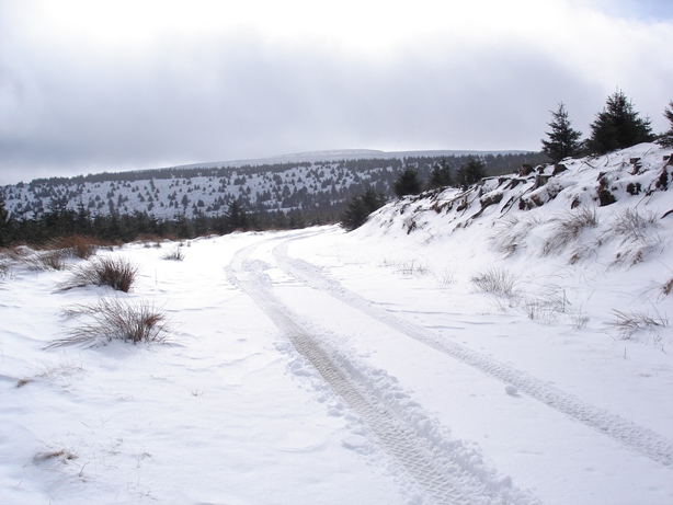
The army did plough the tracks all the way to the roadhead just N of here.
I'm guessing this was to get busloads of cadets up there on Thursday.
Brecon Beacons in the background.
high up. Lunch stop out of the wind in the famous high altitude trees on P-y-G.
The army did plough the tracks all the way to the roadhead just N of here.
I'm guessing this was to get busloads of cadets up there on Thursday.
Brecon Beacons in the background.